Everglades Depth Estimation Network (EDEN) for Support of Biological and Ecological Assessments
Wading Birds Depth Viewer
 Wading Birds Depth Viewer
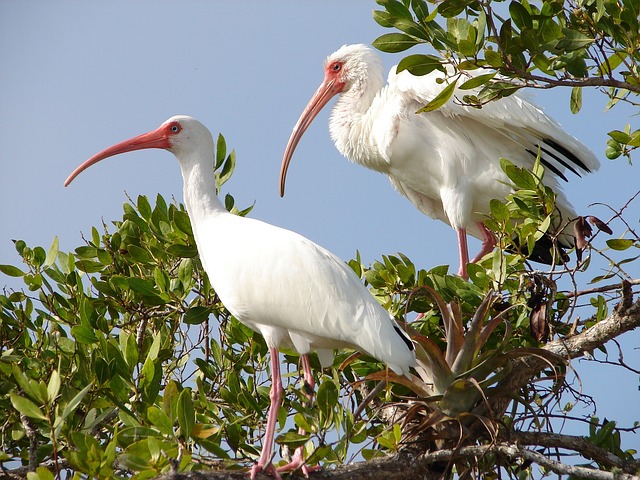
Wading birds are important indicator species for South Florida's Greater Everglades. Hydrologic modifications to the Everglades, including drainage, compartmentalization, and flow alterations, have led to declining wading bird populations and nesting numbers. One goal of the Comprehensive Everglades Restoration Plan (CERP) is to restore historic flow and increase suitable hydrologic conditions for birds such as the White Ibis (Eudocimus albus) and Great Egret (Ardea alba).
The Everglades Depth Estimation Network (EDEN) provides daily water-level and water-depth surfaces for the freshwater Everglades from 1991 to present. The EDEN Wading Bird Viewer was developed to support scientists and managers with an easy-to-use tool to assess current hydrologic conditions for wading birds in the Everglades. Successful wading bird reproduction is highly dependent on the availability of prey (fish and aquatic invertebrates). Prey concentration and abundance determine prey availability and are closely related to water depths and recession rates. The EDEN Wading Bird Viewer draws on Wading Distribution and Evaluation Modeling (WADEM) and displays water depth and 14-day recession rate across the EDEN spatial domain. Optimal depths and recession rates are shown daily for White Ibis and Great Egret.
Please send any questions or comments to the EDEN team.
References:
Beerens, J.M., E.G. Noonburg, and D.E. Gawlik. 2015. Linking Dynamic Habitat Selection with Wading Bird Foraging Distributions across Resource Gradients. PLoS ONE 10(6): e0128182. DOI: 10.1371/journal.pone.0128182.
Beerens, J.M., P.C. Frederick, E.G. Noonburg, and D.E. Gawlik. 2015. Determining Habitat Quality for Species that Demonstrate Dynamic Habitat Selection. Ecology and Evolution 5(23): 5685-5697. DOI: 10.1002/ece3.1813.