Everglades Depth Estimation Network (EDEN) for Support of Biological and Ecological Assessments
GrAdient-Related Discharge in an Everglades Network (GARDEN) Viewer
GARDEN was developed by the U.S. Geological Survey in cooperation with the U.S. Army Corps of Engineers to use the water-level surfaces developed by EDEN to estimate gradients and volumetric flow rates in the Greater Everglades. Flow rates in both the x and y directions are computed by using the water-level gradients provided by EDEN. The frictional resistance is estimated for a modified version of the Mannings Equation by calibrating the parameters to measured flow rates at coastal creeks fed by EDEN boundary flows. Development of GARDEN is described in Swain and Adams (2024).
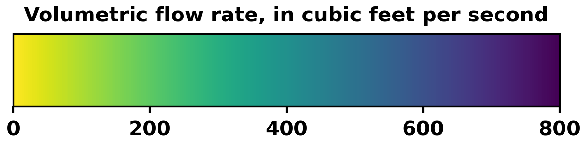
The GARDEN application provides a tool that scientists and water managers can use to estimate water flows and distributions in the Greater Everglades. The daily maps of flow vectors can be downloaded as graphics or NetCDF data files. The response of the daily flow-vector map to water-management releases can be tracked spatially and temporally, providing users with volumetric information on the distribution of water in the Greater Everglades,
For clarity, the viewer displays the flow vectors at a resolution of 1,200 meters, whereas the downloadable GARDEN data has the finest resolution of 400 meters. Quarterly data is selected and the slider can be used to pick specific dates. The flow vectors are estimated from the water-level gradient between EDEN cells and a calibrated frictional resistance. Spatial variation in wetland frictional resistance is not considered, and any errors in the interpolated water levels in the EDEN grid affects the accuracy of the flow-vector estimates.
For more information on GARDEN methods and limitations see the documentation at https://doi.org/10.3133/sir20245041.
The GARDEN software can be accessed and downloaded at https://doi.org/10.5066/P138WZSY
GARDEN was developed with support from the USGS Greater Everglades Priority Ecosystem Science program and the U.S. Army Corps of Engineers.
Pine Rocklands boundaries provided by: Florida Fish and Wildlife Conservation Commission and Florida Natural Areas Inventory. 2023. Cooperative Land Cover version 3.7. Tallahassee, FL. Accessed at: https://myfwc.com/research/gis/wildlife/cooperative-land-cover/.
Please send any questions or comments to the EDEN team.